Please note that the Ingatestone Hall postcode (CM4 9NR) is incorrectly logged on some SatNav and mapping databases and should not be relied on. Please use CM4 9NS instead.
- what3words, entrance
- ///cake.reach.intro
- what3words, house
- ///dragon.level.loaf
- Grid reference
- TQ 65391 98555
- 51° 39' 41" N, 0° 23' 25" E
By road
The village of Ingatestone lies off the A12 (Exit 28 from the M25) between Brentwood and Chelmsford. From the London end of the High Street, take Station Lane. Proceed over the level crossing and continue for ½ mile.
The Hall is 35 miles from Central London. Map Reference: TQ 65391 98555
By train
Ingatestone Station is on the main line from London (Liverpool Street) to Chelmsford. There are trains in both directions hourly throughout the day (more frequently in peak times) and the journey from Liverpool Street takes 35 minutes. The Hall is ¾ mile from the station (turn left out of the station car park entrance).
By bus
Service no. 351. Buses from Brentwood and Chelmsford stop near to the Ingatestone High Street junction with Station Lane. The service is hourly (every two hours on Sundays). The Hall is ¾ mile from the bus stop.
By taxi
Ingatestone Taxis, tel. 01277 353535. There is a taxi office (but no rank) at Ingatestone Station.
By air
By prior arrangement, provision can be made for the landing of helicopters adjacent to the Hall grounds. Please call to arrange this.
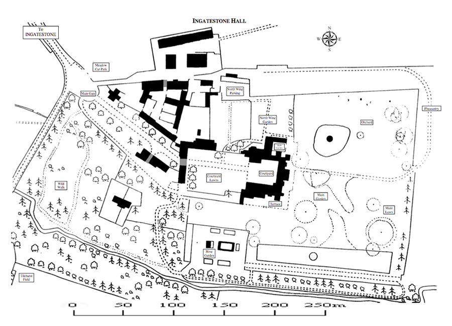
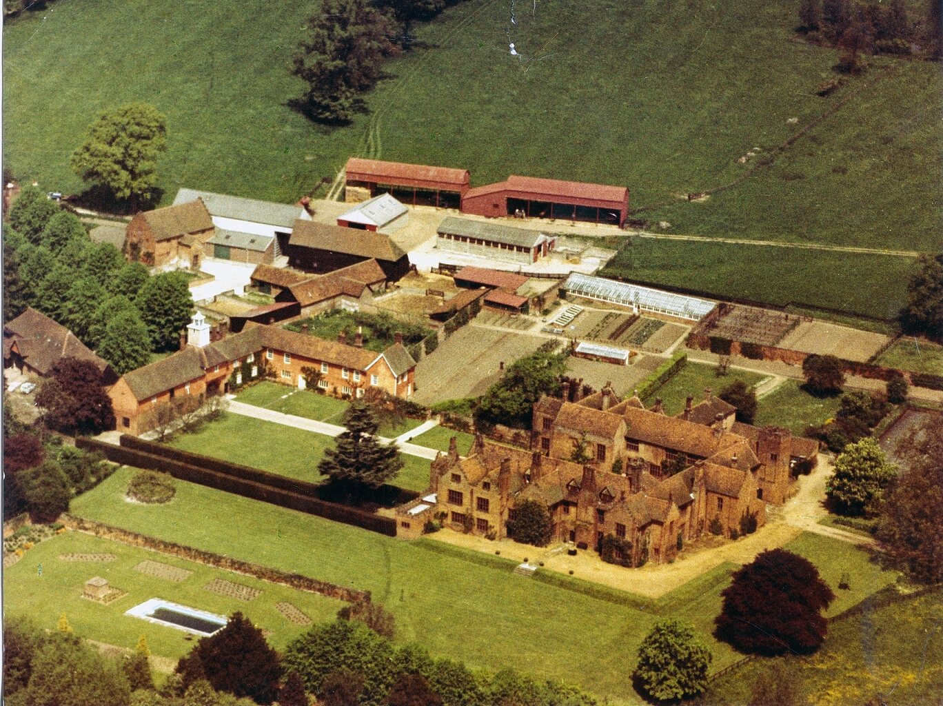
Aerial views and maps of the site may be found on Google Maps, Google Earth and similar websites.